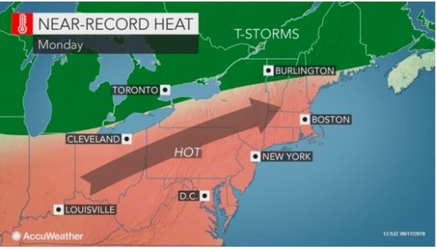
The advisory is in effect from 11 a.m. until 8 p.m. Monday.
The heat index is expected to be around the 100-degree mark with a daytime high in the low-90s.
A Heat Advisory is issued when the combination of heat and humidity is expected to make it feel like it is 95 to 99 degrees for two or more consecutive days, or 100 to 104 degrees for any length of time.
Extreme heat can cause illness and death among at-risk population who cannot stay cool, the National Weather Service said. The heat and humidity may cause heat stress during outdoor exertion or extended exposure.
Monday will be mostly sunny throughout the morning through the early afternoon. There is a chance of isolated showers and thunderstorms after 3 p.m. ahead of the arrival of a cold front. Some of the storms could produce gusty winds and heavy downpours.
Showers and storms are likely late Monday night through the early morning hours Tuesday, mainly between 1 a.m. and 3 a.m. Some of the storms could be severe.
The overnight low will be between 72 and 74 degrees.
There is a chance of morning showers Tuesday before skies become sunny. The high temperature will be in the 82-84 degree range.
Check back to Daily Voice for updates.
Click here to follow Daily Voice Orangetown and receive free news updates.